Okay people. So you want to do Devil’s path in a day.
I hear you.
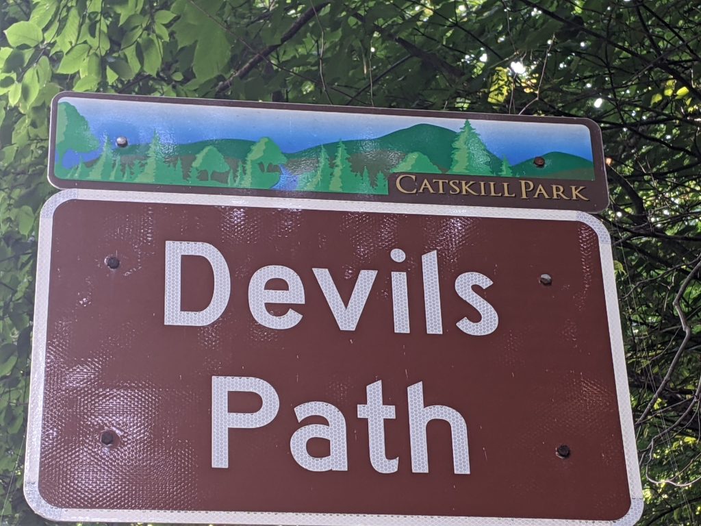
DP is a Beast in the East and a must do for any bucket list of hard mountain days.
Located in the Catskill Mountains of New York, it’s about 200 miles from Boston or an easy 130 mile drive from NYC.
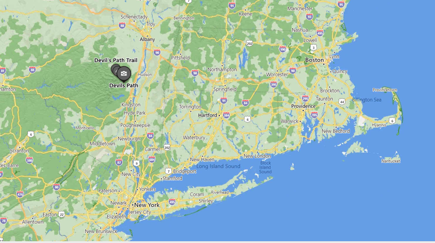
As a solo explorer, the difficult logistics on this one almost thwarted my attempt. Devil’s is a point to point trail not a loop. Transport issues you see.
But I got a kick in butt after reading a training report from my favorite Ultra running blogger – Sarah Lavendar Smith
Her self imposed high desert 55 miler shamed me into going for Devil’s. I did a fraction of what she undertook.
Read that story here: https://www.therunnerstrip.com/2021/05/running-the-rimrocker/
Anyways, use whatever motivates you to get to the start!
Just TRY!
DP is run/hike just over 24 miles. It’s an undulating fury of ups and downs (18,000 feet of elevation change) with some flat summits to allow the legs to stride out and do some running.
None of the peaks get above treeline so you’re not as exposed like in the Alpine Zone of the White Mountains. BUT! the regular wildness precautions are absolutely needed.
You’re gonna read some internet embellishments about this being the most dangerous day hike in the lower 48.
The toughest trail in the East.
You could DIE! –
Blah, Blah, Fuckin’ Blah.
Yes, IT IS HARD.
Yes, IT IS LONG.
But, if you’ve been up for full days in the Whites, hiked some or all of the Great Range in the high peaks of the Adirondacks, trained for a hilly trail marathon, – you’ll be fine*.
*I’ll compare to the Great Range Traverse at the end
This is a FULL DAY for sure.
It took me 10 hours and 12 minutes to complete.
I probably ran about 25% of it.
The up and down nature of the trail with lots of trip hazards are the built-in speed governor here. Only the bomber FKT set run this thing hard and at speed. (FYI – the Unsupported Fastest Know Time on the DP is 4hours 36 minutes – Amazing!)*
Here’s a link to an article with some more logistical helpful bits:
https://goeast.ems.com/alpha-guide-hiking-devils-path/
And this one gives a good turn by turn summary with mileages:
https://cnyhiking.com/DevilsPath.htm
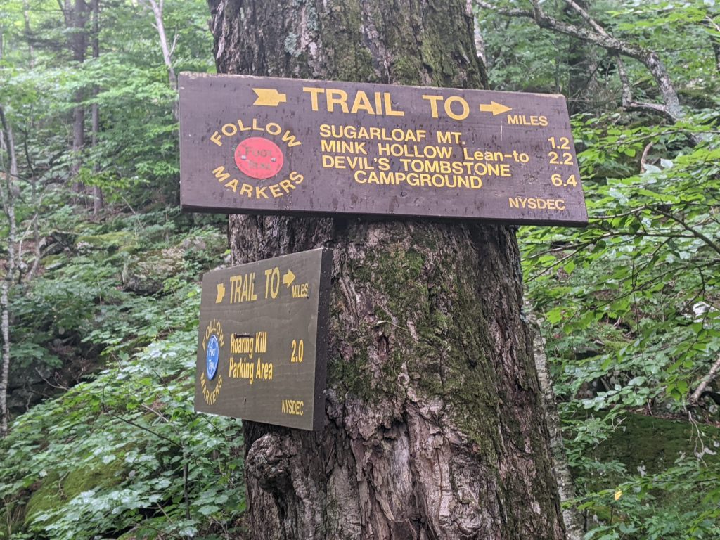
Since the DP is not a loop, I spotted my car the day before at the terminus. Hunter-West Kill Trailhead – Devil’s Path West End.
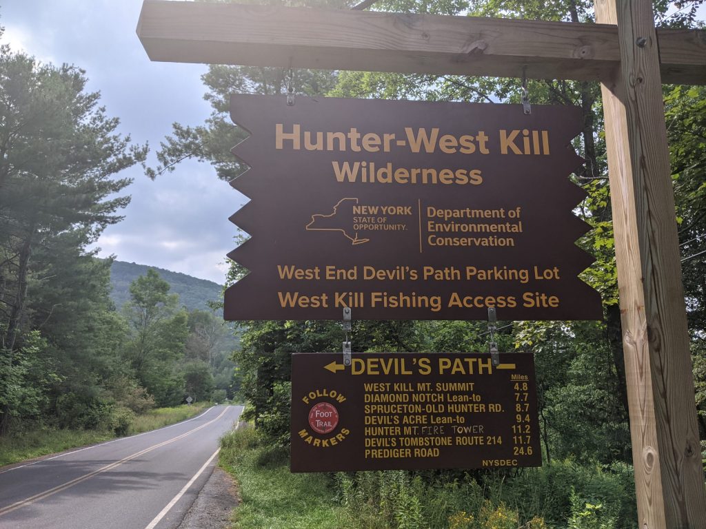
I then biked the 21 miles back to where I tented at Devil’s Tombstone Campground on route 214.
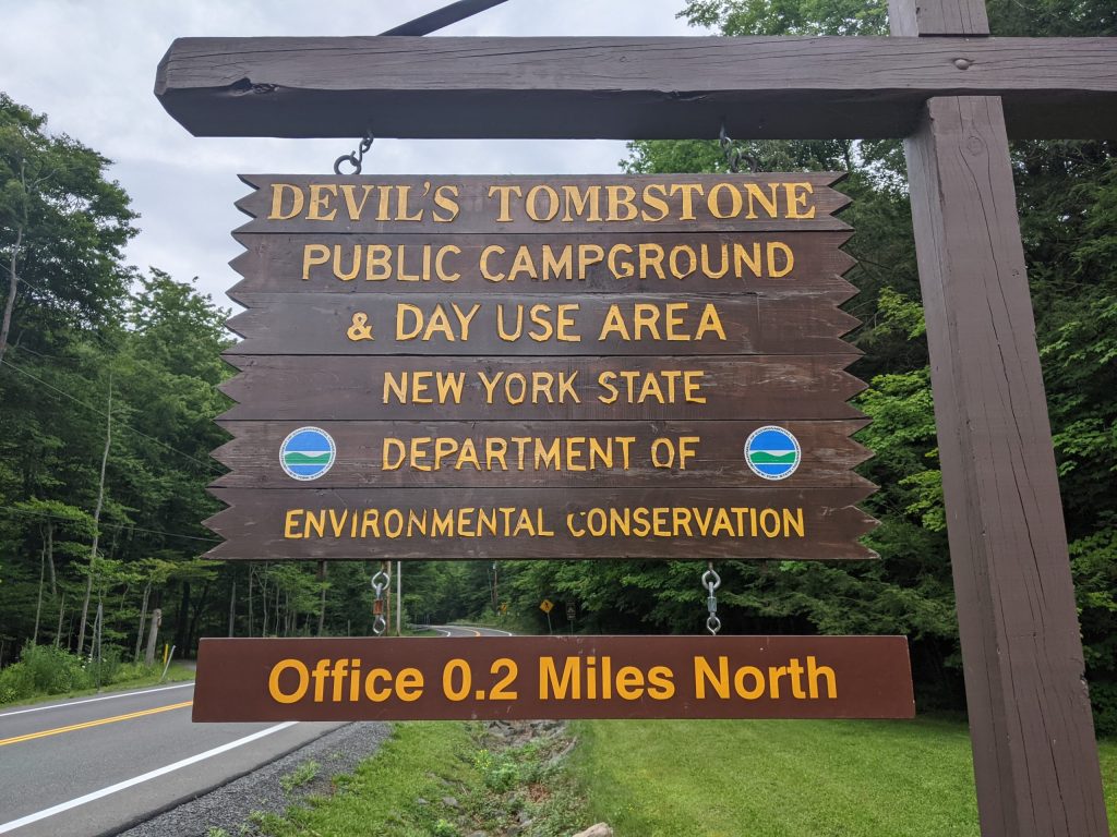
Note: Primitive camping: Potable water and pit toilets only – that’s it and that’s enough for me & you.
Most Important! This campground is exactly a quarter mile from the Devil’s Path halfway point at the crossing of Route 214.
So you can enjoy a built in aid station at Mile 12 to refill water, eat food you didn’t want to carry, change into dry clothes or…..QUIT!
Oh yeah, I thought about taking a nap and finishing in the evening or even the next morning in cooler temps. I didn’t though – Can’t be a wuss in my own mind.
I whipped up a freeze dried dinner to pack in some fat calories and excess sodium the night before…
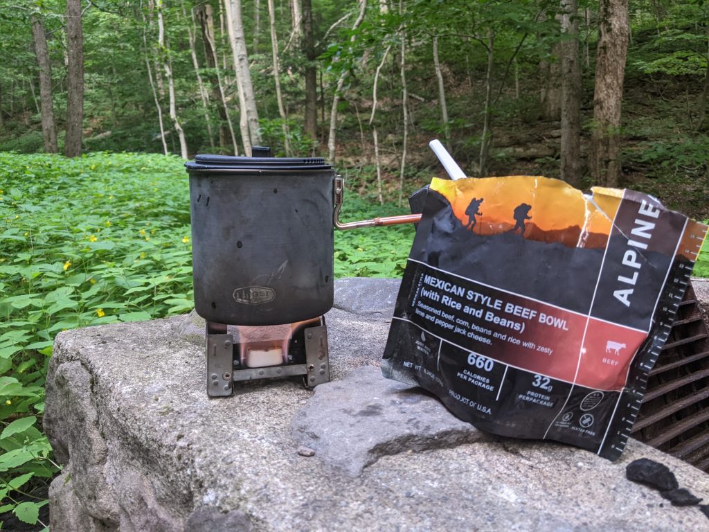
…Then headed to bed.
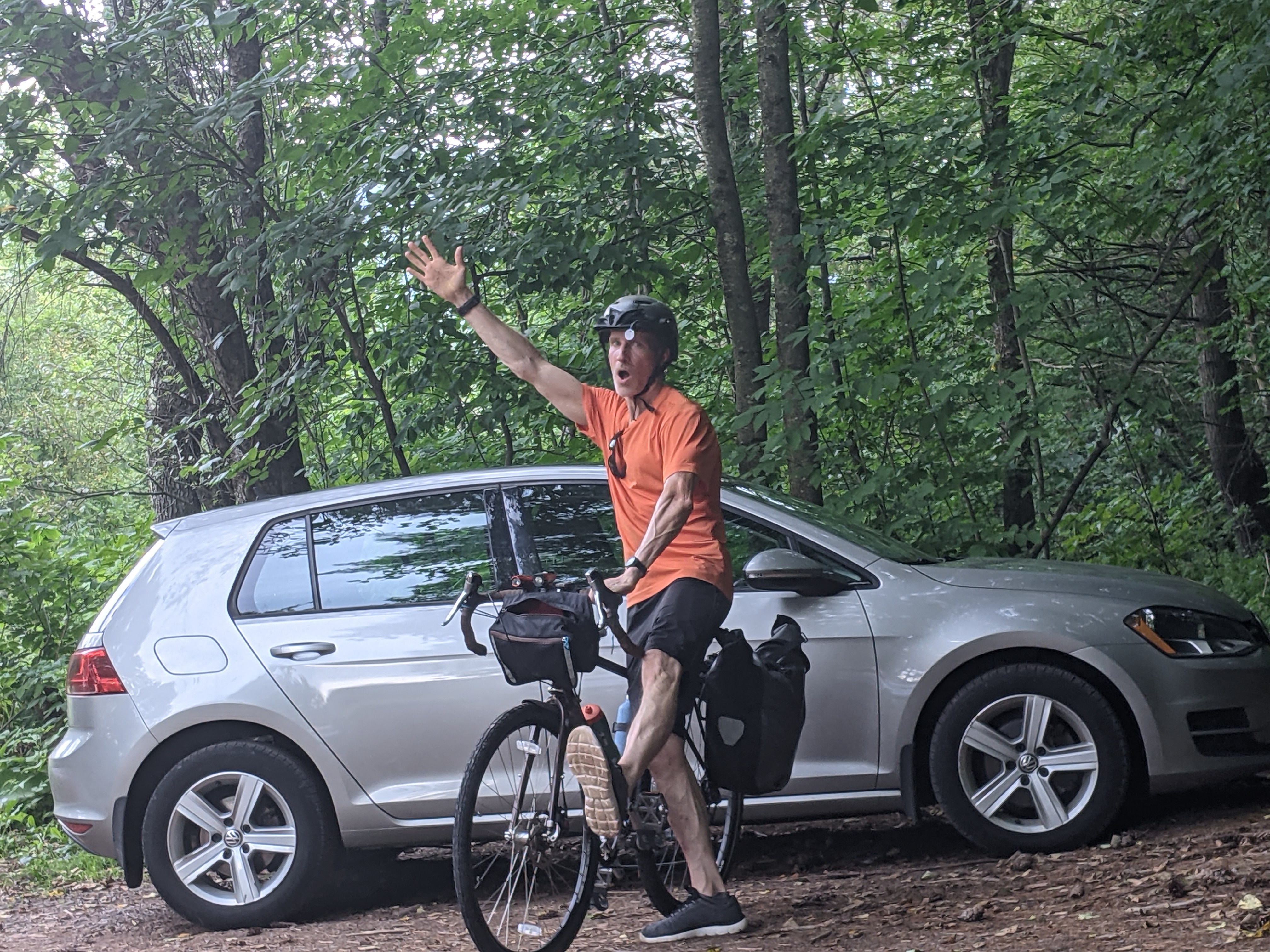
Up at 4am the morning of the run to bike the 10 mile easy route to Prediger Road Trailhead – Devil’s Path East.
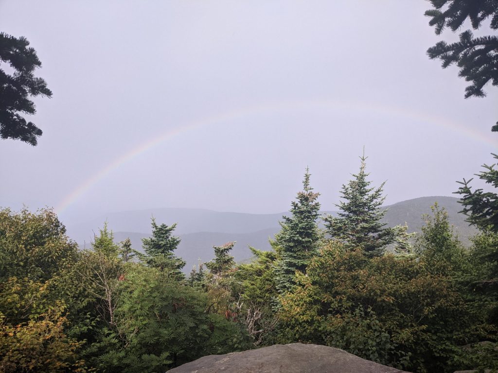
With the sun beginning to brim, the rolling peaks were silhouetted against the morning sky.
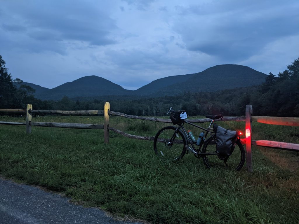
Locked my bike to a tree while being ever thankful for Port-a-Potties in the parking area. (Didn’t think I’d need to take 2 #2s – 51 year old digestion is on the bell curve of decreasing predictability).
Pull your shorts up and run – Duh!

Off I go!
First up is Indian Head Mountain. The first 2 hours ease you into this big day.
Nice rock formations

And glorious views out to the Hudson give you a cruisy feeling. Hey this is gonna be easy.
There’s a small bellow in between Indian Head and Twin Mountains. Not bad though.
It’s early in the hike. Fresh legs handled this spryly.
Down then up again to Sugarloaf Mountain.
A little rain thrown in to purge some of the humidity was most welcomed. Then I got my Strawberry Shortcake moment when I rounded the last corner before the descent off Sugarloaf.
I looked for a Unicorn to complete this fantasy moment – Not today.
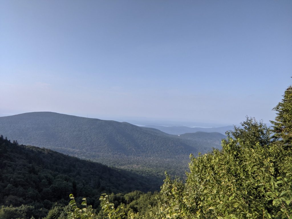
Down to another col and up to Plateau Mountain. Here’s the section of the trail to let the dogs out. You really are on a flat plateau at this summit for a good mile or so. Pick up the pace and stride out until you get to this view.
Beauty.
By this point, the climbs and descents have gotten into your legs. Springy stepping over roots and rocks is gone. Your campsite and aid station at Devil’s Tombstone dominate all thinking.
Respite…Get to rest…lemonade on ice….Halfway….Get in and out quick. Just get there…
This ran on repeat in my mind like a public service message.
The descent from Plateau is a series of steep, rocky switchbacks. Feet jamming into the front of your sneakers while you ride the brakes descending 1,100 feet.
Quads are feelin’ it here.
Hang in there. Campground ahead.
Negative mental chatter starts to ease.
FINALLY.
A dry shirt. Cold lemonade, Clif Bar and some chips. Refresh complete.
I had to hurry myself back on the trail before the siren call of napping in the tent took hold.
The reality of the moment smacks you in the face looking down Route 214…

That’s Plateau mountain on the right you just came down and Hunter mountain on the left you are about to go up.
Yeah steep. Yeah, densely wooded. Yeah – this is hard.
GOOD!
Let’s go rollercoaster some more – 2 mountains to go.
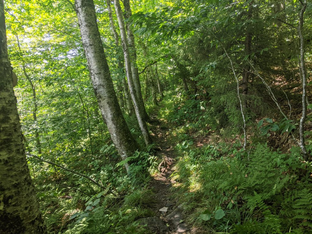
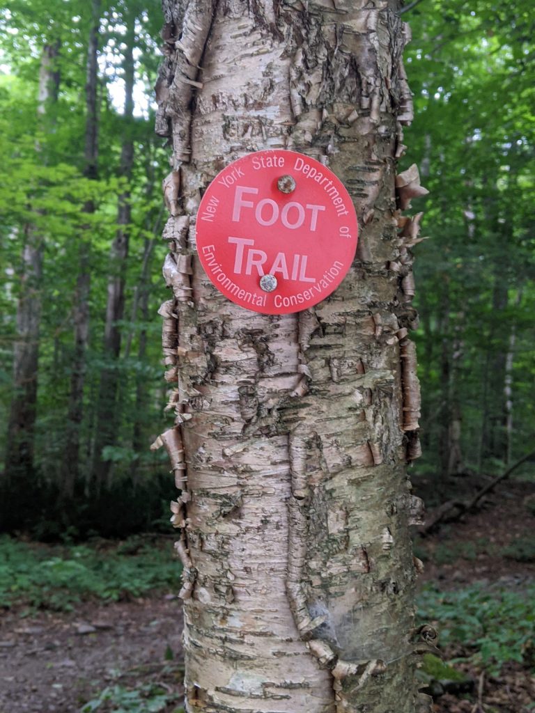
I should mention. Navigating the route is pretty easy throughout. NY state parks do a wonderful job marking the trail.
However, keep your head up and your mental compass acute on the ascent of Hunter. There are a couple unmarked little paths that snake off from the main trail. If you’re mired in your own headspace -zoning out to take your mind off the upward work – you may unknowingly wander astray.
“PAY ATTENTION!“
I had to yell out loud after the 2nd time this happened. A little focus here and you’ll be fine.
At the top of Hunter try to run because it’s runnable here and this is a trail run after all.
I know you won’t want to. 6 to 8 hours into the effort right here – There’s gonna be some straining. Especially if it’s a humid day.
Try to keep your mind quiet and cruise the trail. At least we’re in the trees – in the shade.
Aim for two progress markers.
First is Devil’s Acre Lean-To. Why? Dunno. Just a structure in the woods, but there is a pit toilet there in case that 3rd #2 is lurking.
After that is a descent to the basin between Hunter and West Kill mountains.
And another bail out option.
The sign for Spruceton Road points you to a flat easy exit from this madness. A non-hill route around the mountain and the glorious relief of getting to the car. – Longer, but flat and level road shuffling.
But.
That’s the Devil’s Path incomplete option.
You came to finish DP. I came to beat this beast. No bragging – humble or otherwise if we bail here.
That all sounds mildly motivating for 1-1/2 seconds so the attention now goes to the sign that points you up and over West Kill Mountain.
Start trudging up. Internet research tells me the West half – the half after Route 214 – here -now – is the “easier” half.
Yeah, right…
…Is all I can muster in my head. That slog up West Kill is work. I punch in at the bottom of the trail. Do the work. Then punched out at the top.
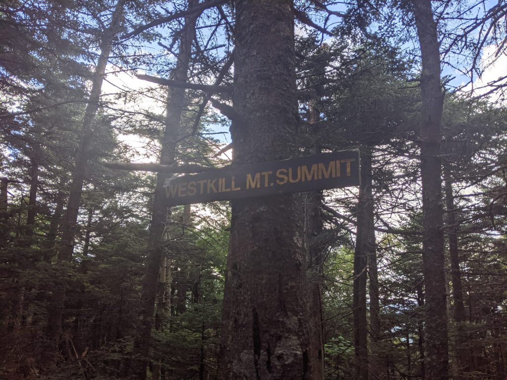
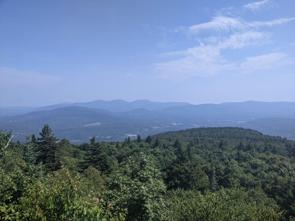
And lucky us. It’s payday at Buck Ridge right at the summit.
This is the most scenic and rewarding view spot of the trip.
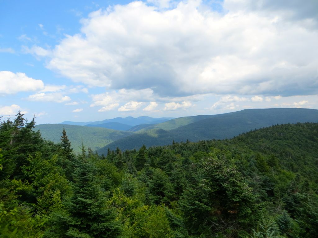
Breath deep here. Soak it in. Sit if you feel like it. Stretch the hips and hamstrings. Have a snack.
In short, get your shit together for the last push. The end of this, Devil’s Path West trailhead is 5 miles away. 5 low strain miles.
It’s all down from here.
Not easy, but down.
Do as much or as little running as you can.
It’s doesn’t matter.
Devil’s Path was on the list and it’s about to go in the Bucket.
Thank the lord for that.
Well done People.
*****************************************************************************************************************************
Before I get into comparing Devil’s to the other two ass kicker hikes in the Northeast, let’s get the food recommendations out of the way.
Devil’s Path is in the Catskills and the town of Tannersville kinda grabs onto that Woodstock artsy, organic-y vibe / trend. The two towns are only a 1/2 hour apart.
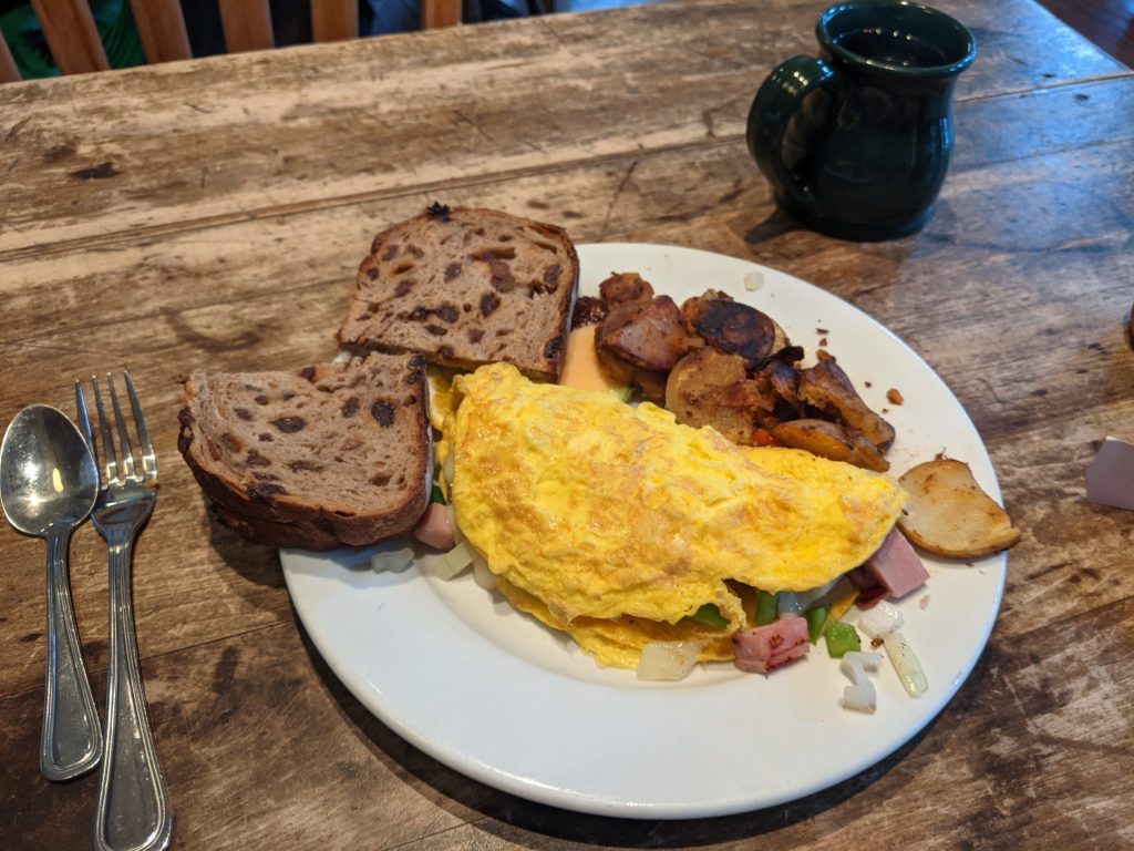
Breakfast: Want to get a farm fresh omelet? Don’t miss the Catskill Mountain Country Store. Top notch food and service. Right on Main street. https://www.catskillmtncountrystore.com/
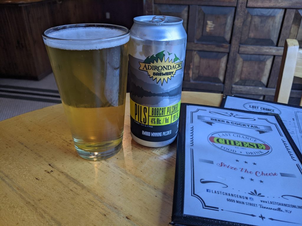
Lunch / Dinner: is all about beer. I like to find some local flavors. There is a brewery outside of town down Route 23A in Hunter, but the scene and menu didn’t grab me. So still on Main St. check out Last Chance Antiques & Cheese Cafe https://www.lastchanceonline.com/
Good Pub Grub and Beer selection:
*****************************************************************************************************************************
Okay – with some time to reflect, is Devil’s Path harder than the Great Range Traverse or the Pemi Loop?
The short answer here is a definite NO.
There are a couple reasons:
One – the max elevation is just not as high. Weather is a big deal up in the mountains – especially cold weather. Both the Pemi and Great Range peak out above treeline.
Let me tell you, even in summer it gets windy and cold up on those exposed summits. Devil’s Path keeps you in the trees and protected. Even though my summer attempt was on the humid side, had it been an unseasonably chilly day I feel like I would not have been in danger. Trees give comfort.
Two – Devil’s pops back out to civilization around halfway. Yes, that road crossing at Route 214 is a handy 1/2 way aid station. It is also a bail out option. On the Pemi and the Great Range, you are out there man – all day. No road crossings, no aid station. It’s you and mountains for 10+ hours.
Devil’s is still a son a bitch to complete, but the smaller mountains and having that campground right at mile 12 help take the risk out of this one.
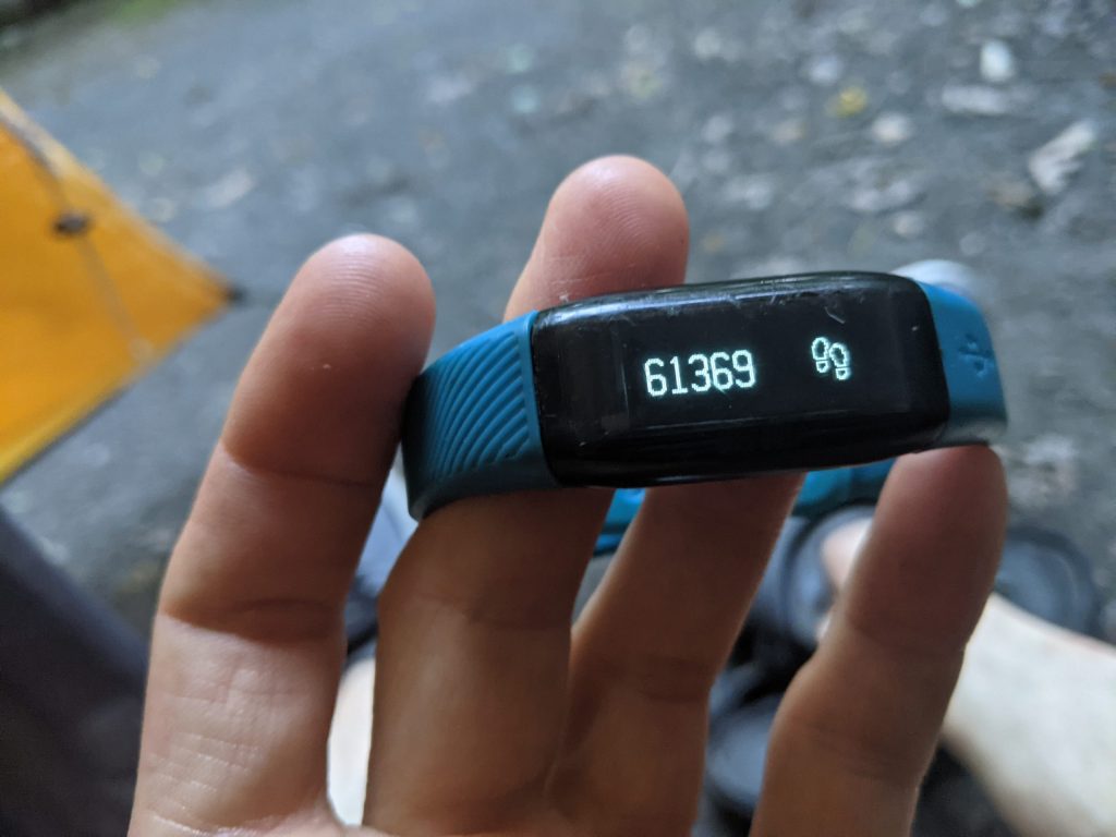
Here’s the step count from Devil’s…

Leave a comment