
So you want to hike the Presidential Traverse solo.
I’m with you.
It’s challenging.
It’s a rewarding day in the mountains.
It’s an iconic route every Northeast hiker wants in their bragging bag.
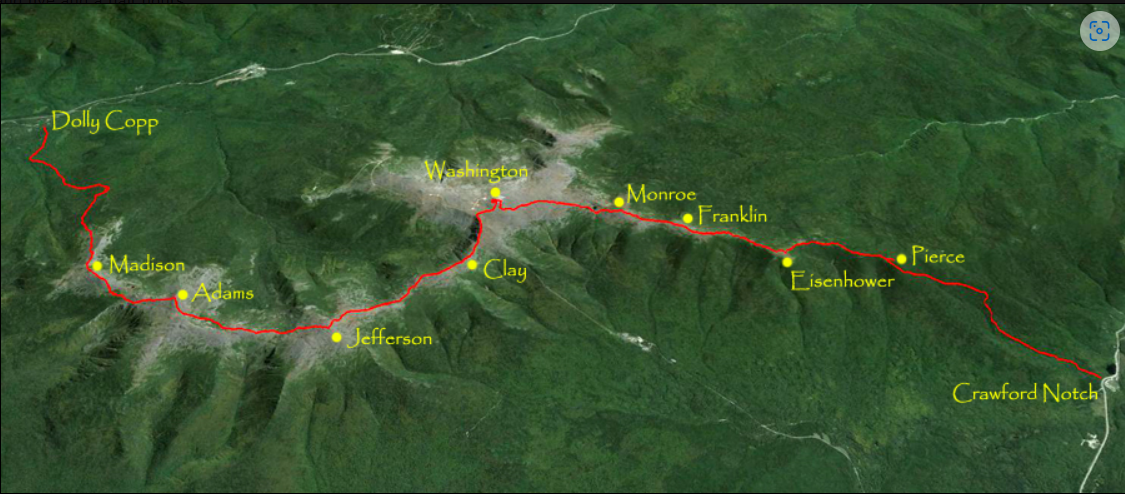
The above image from dailey7779.blogspotHowever, it’s also a point to point route.
“I’m doing this alone. How do I get back to my car?”
HA! Yes, there’s that logistical hurdle. Don’t fret my uninitiated hiker friend. I’m here to light a candle and guide you through this dark spot in your plans as well as offer some other insider tips.
Before we tackle the problem of getting your broken body home at the hike’s end, let’s talk about the most important variable in the White Mountains.
WEATHER!!!
No jokes here. Take it seriously. You can’t look up the forecast on the Weather Channel for Gorham, New Hampshire and think it’s going to translate to +3,590 feet at the summit of Mount Washington.
The weather at the peaks is drastically different and more volatile than in the valleys.
Every step on the traverse is a potential ankle breaker. You want those steps to hit dry rocks not wet ones.
You want to relish and savor the summits not get blown off them.
Here’s the link to the weather station at Mount Washington summit:
This report is the only one you care about.
Okay, back to your solo-ness.
First there’s the obvious. Have someone pick you up at the end. DUHHH!!!
OR
Partner up for the hike with another human who can drive and leave one car at the end.
BUT!
This is a one person singular adventure! It’s in the title!
Fear not lonely hiker, two other options are available.
1: There is a shuttle for us point to point hikers.
Handy for sure, but at the end of this looooong day in the mountains, I want dry, clean clothes and food immediately at the end. Plus, I estimated that waiting for and riding the shuttle would be another 2 hours or so to get back around the range to camp.
Shuttle Information – Click here: https://www.outdoors.org/shuttle/
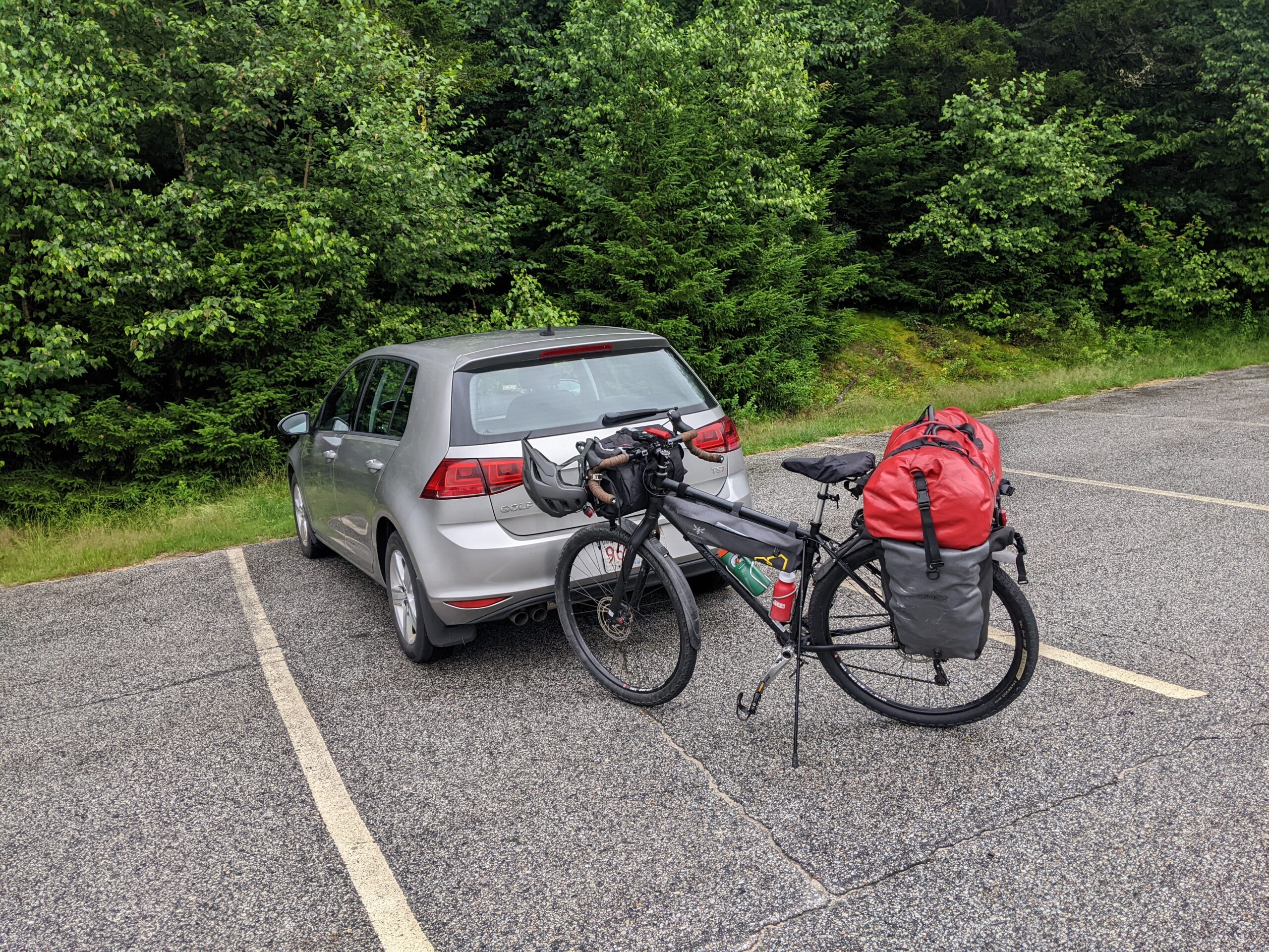
2: Bike.
That’s right your bike. You use it mostly for recreation. Now it’s time to use its utility.
Drive up to Bretton Woods, NH the day before and park at the small lot across Route 302 from the AMC Highland Center on Mt. Clinton Road.
This is the traverse’s finish line at the southern end of the range.
Note 1: There is a $5 charge to park overnight. Pay that in the lot right there or pick up a season pass for $30 online or at the visitors center in Lincoln.
Note 2: This lot is not large and will fill up quick on a nice weekend day so get there sooner than later.
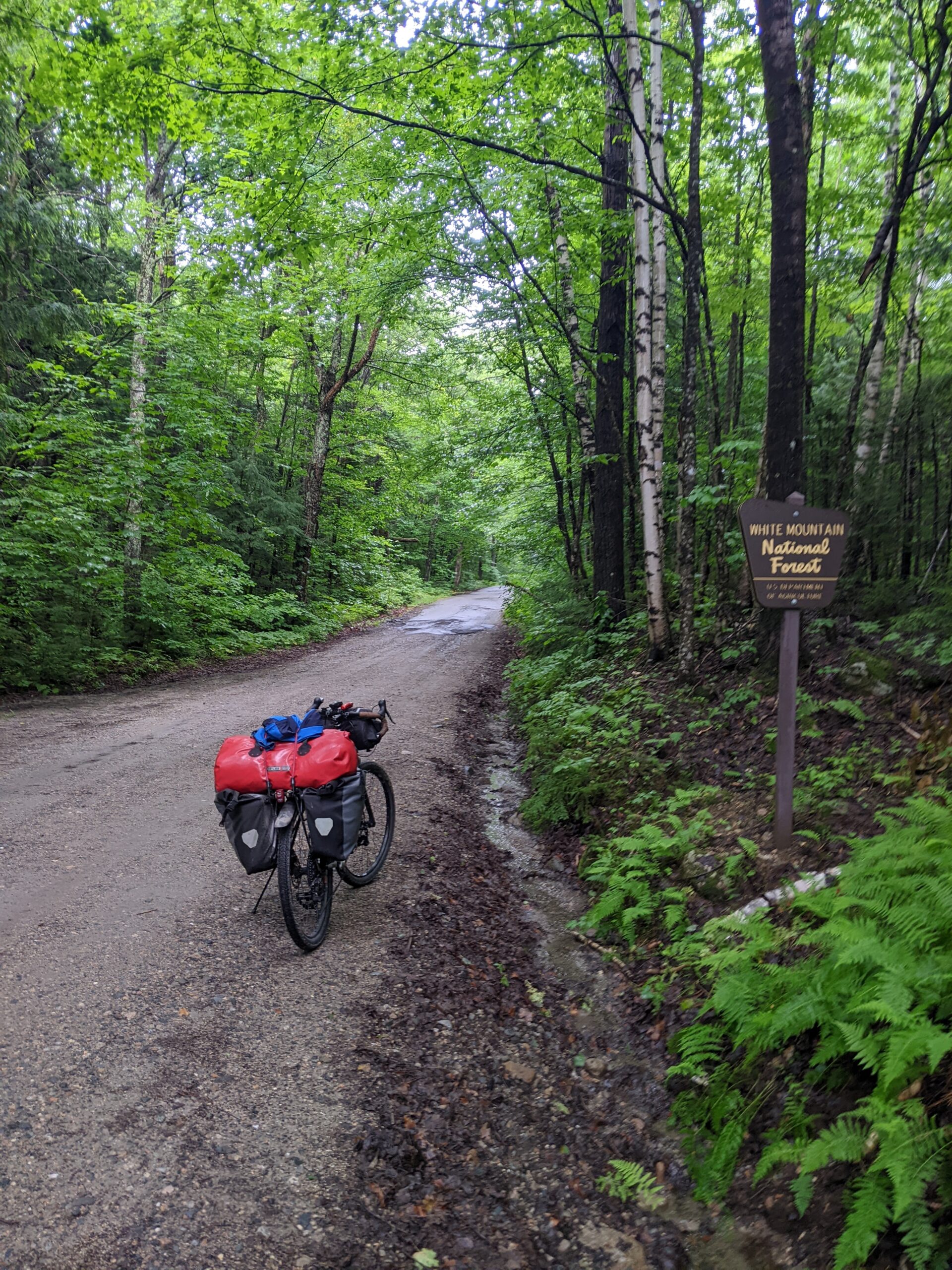
Now you are just a 20 mile bike ride away from the start.
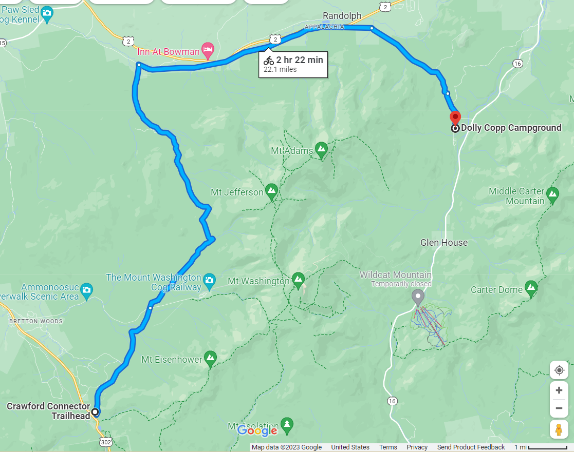
Yes, some uphill over Jefferson Notch, but you’ve got all afternoon to do this. Take it slow, enjoy the river views, and revel in the fact that you are managing this minor hurdle with practical ease.
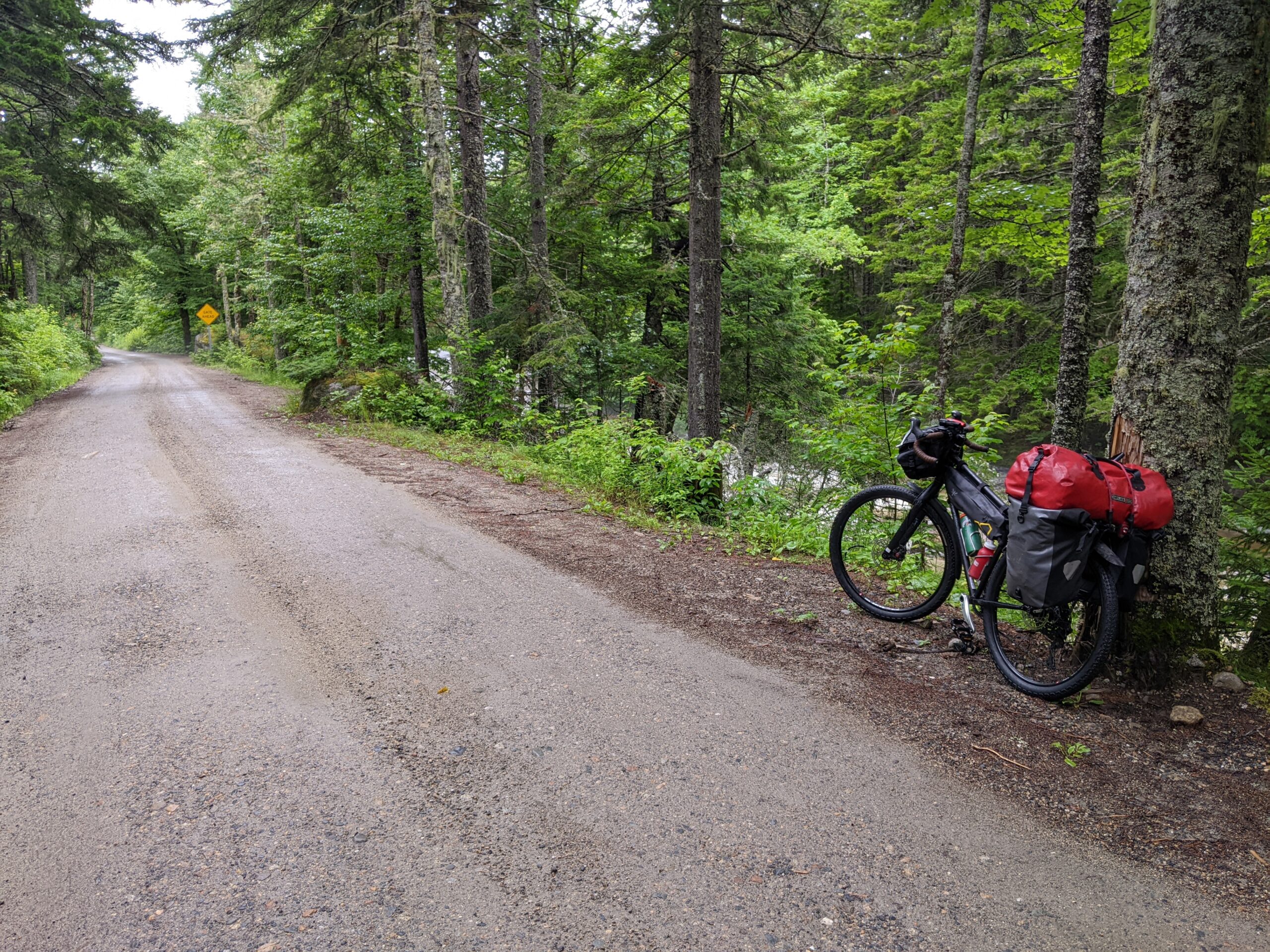
Be sure to double check the brakes on your bike at home. Once you crest the Notch at 3,000 feet, gravity is going to do its best to rock and roll you up to 35+ mph in a hurry. This narrow, twisty road with the odd car coming around a blind corner can be more harrowing than the traverse.
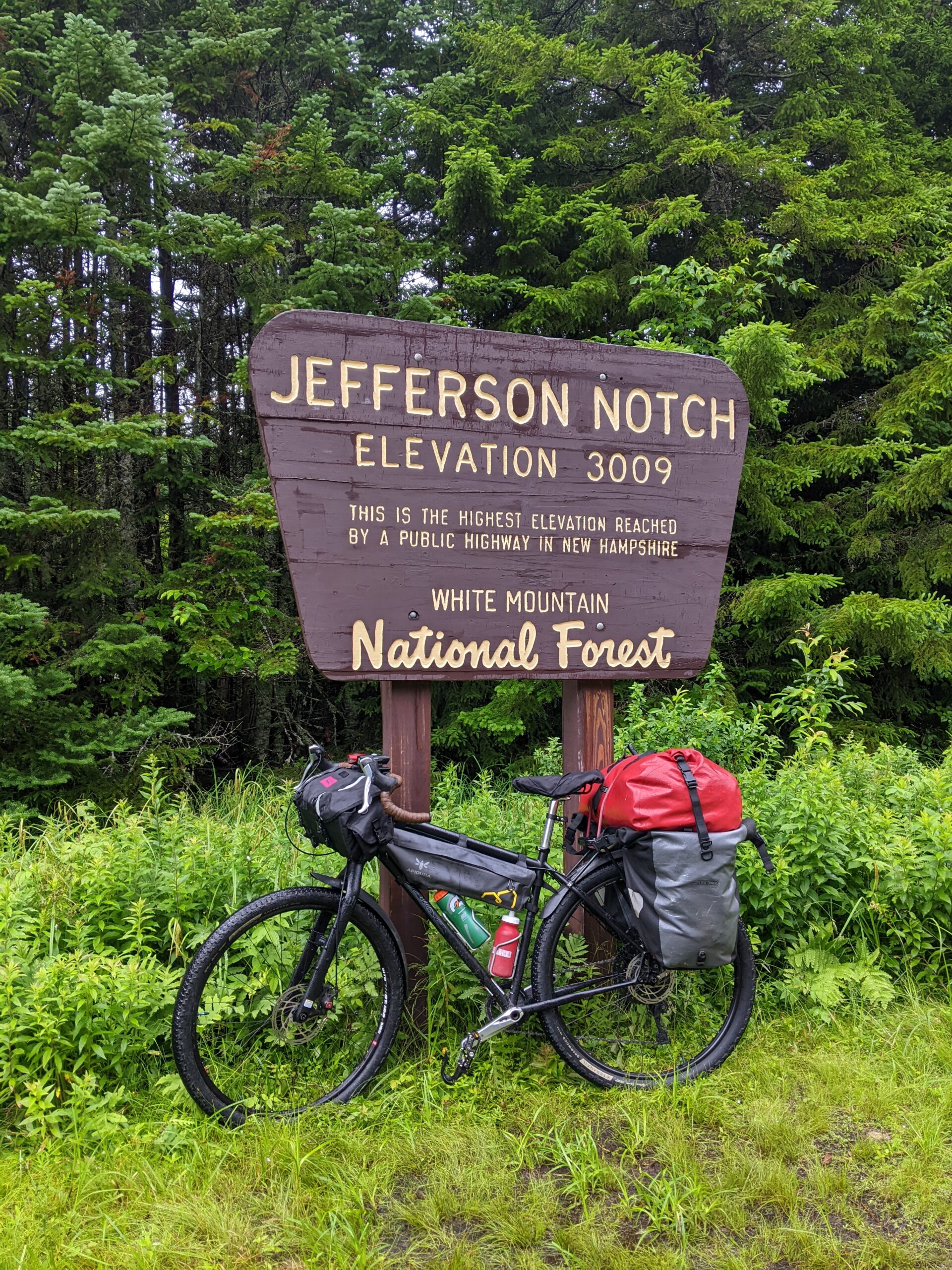
You’ll be heavy on the brakes after this point – Check them! I mean it!
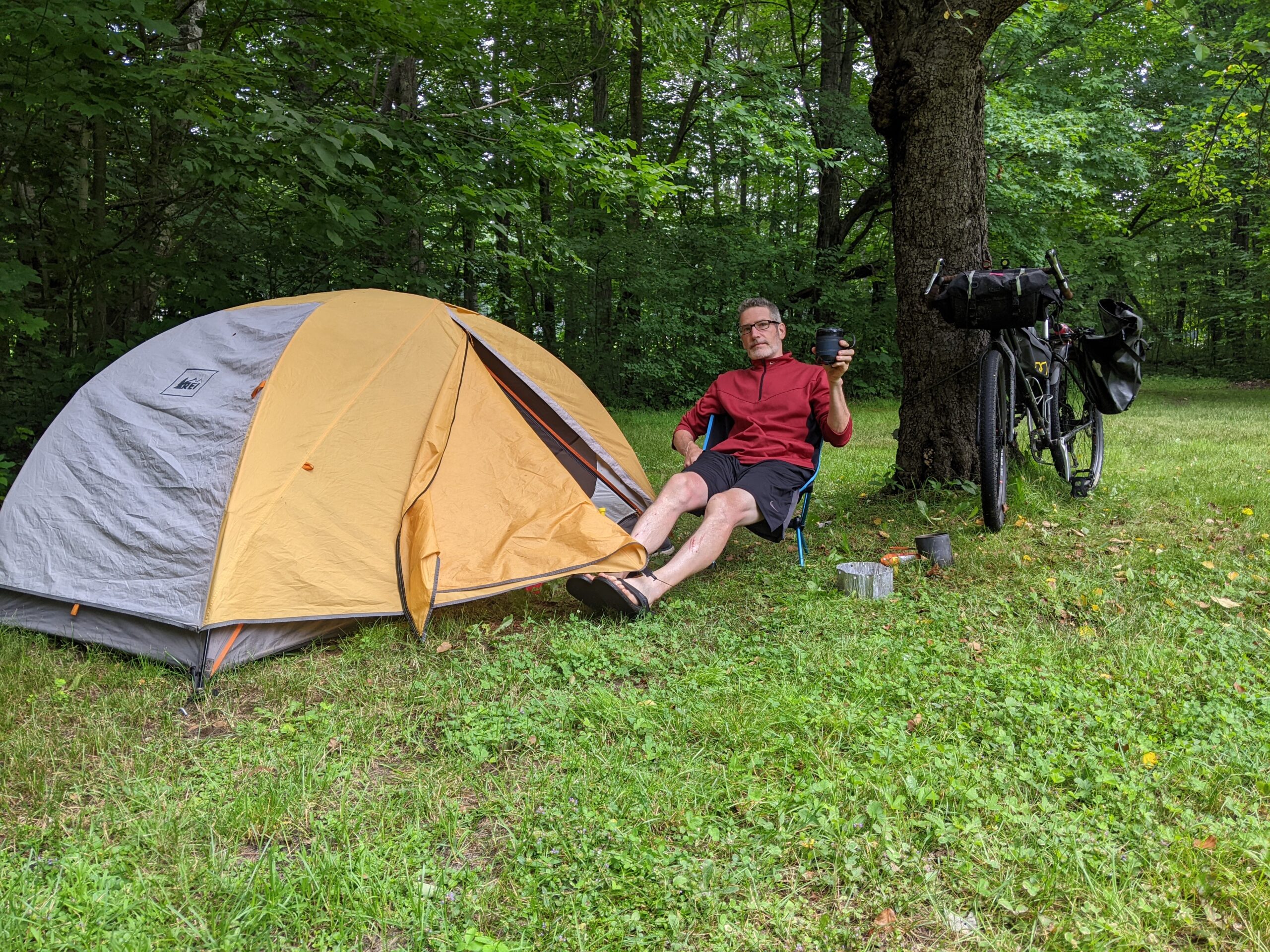
You are heading to Dolly Copp campground in Gorham. $27 bucks a night is a deal.
https://www.recreation.gov/camping/campgrounds/232173
Tip: Get quarters for the shower when you check in to launder your smelly self post traverse.
Convenience couldn’t apply more to this place.
First – It’s located right off Pinkham B Road. Very low use and scenic at the North end of the Range…
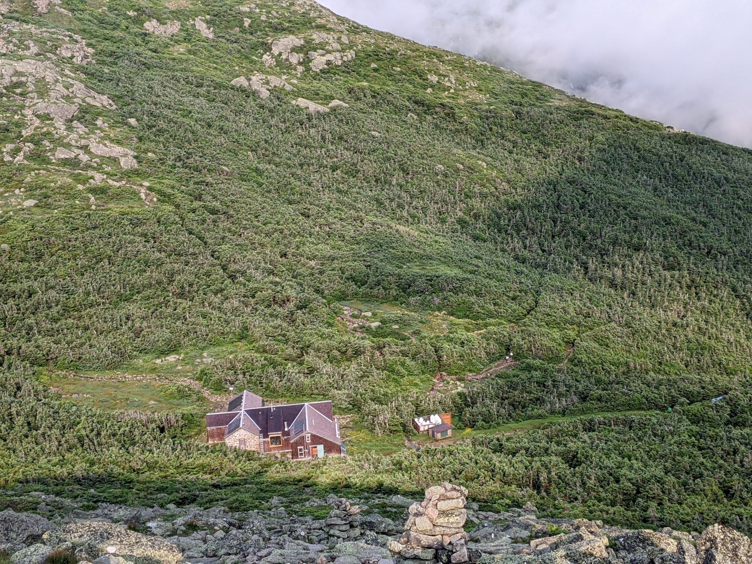
Second – The Danial Webster Scout Trail starts RIGHT IN THE CAMPGROUND!
Mount Maddison is summit number one of the traverse and DW goes straight to it.
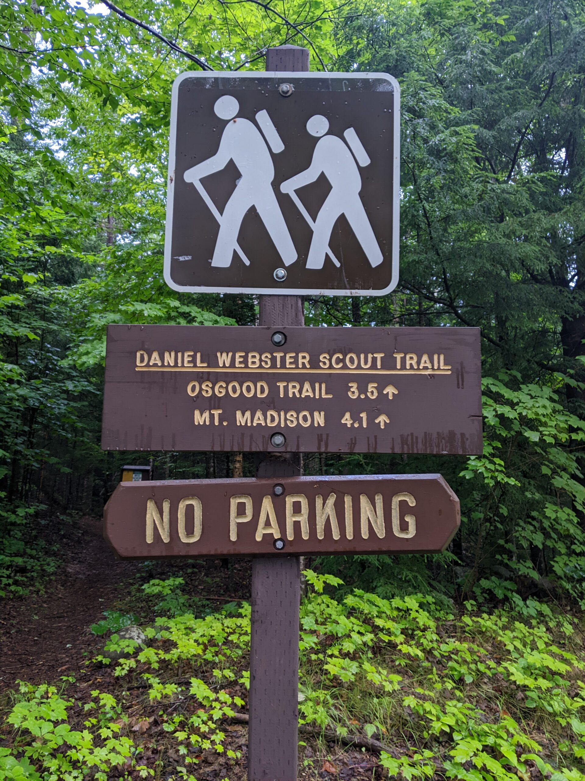
How handy is this!
When I did the traverse last July I pitched my tent 50 yards from the trail head.
Fucking Glorious to get all prepped – Breakfast, bathroom, packed up for the day – and just waddle over to the start in 30 seconds.

Off you go Soldier…See you at the end of the day.

Getting up to Madison summit is the longest sustained effort of the day and a bigger win than cresting Washington.
I started at 5:40 am and topped out at Madison at 7:45am so just over 2 hours.
Though the traverse is still unfolding, Linger and self-celebrate being here.
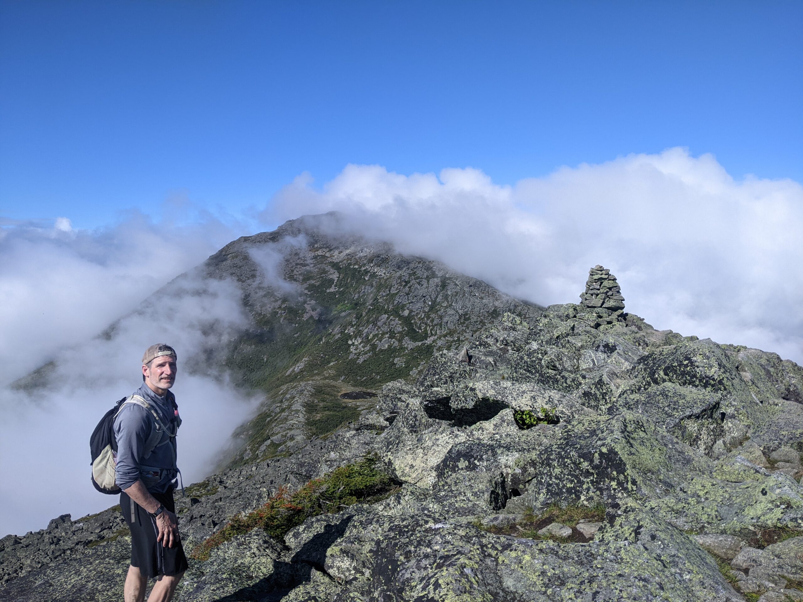
Remember to smile! (I was on the inside I think?)
All the other peaks come and go much quicker including Washington.
Here’s the progression of the day for me.
- 5:40am – Start
- 7:45am – Madison Summit
- 8:41am – Adams
- 9:48am – Jefferson
- 10:40am – Clay
- 11:27am – Washington
- 12:58pm – Monroe
- 2:12pm – Eisenhower
- 2:58pm – Pierce
- 4:22pm – Finish @ Crawford Notch
Note: Didn’t do Jackson as the summit is named after some surveyor not the president.
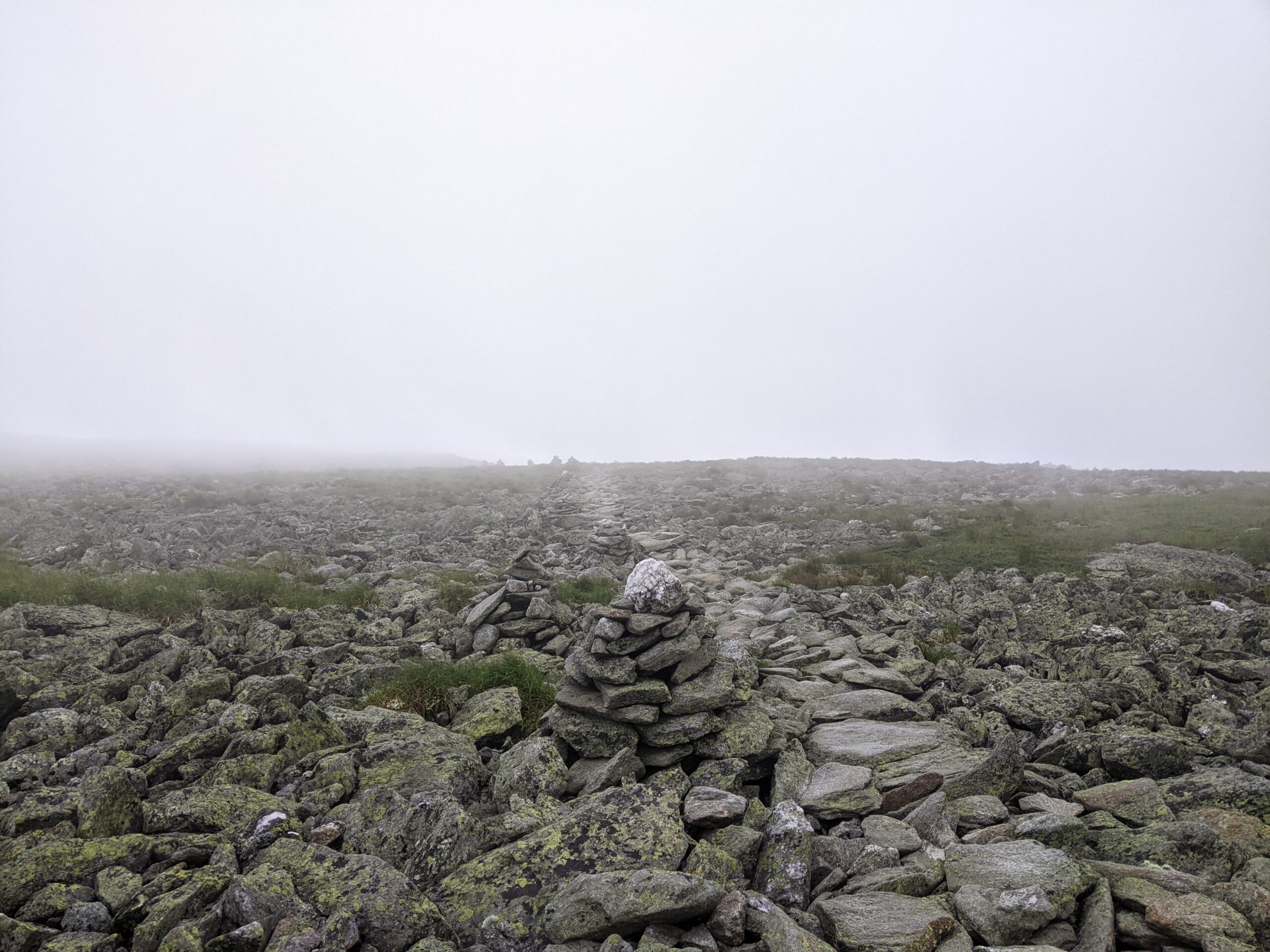
Not detailing every summit effort here. You go up then you go down – Repeat.
Just keep moving forward.
TIP: You have the option to go around the summits instead of over them and not loose elevation. You’ll see trail junction signs indicating the route. Yes, this defeats the purpose of the traverse. But if the weather takes a bad turn or your quads are too jacked up to climb later in the day, it’s nice to have the option.
TIP: Put on sunscreen! You will have no shade for around 15 miles.
WATER
No filter required on this one. Capacity for 1-1/2 liters is enough.
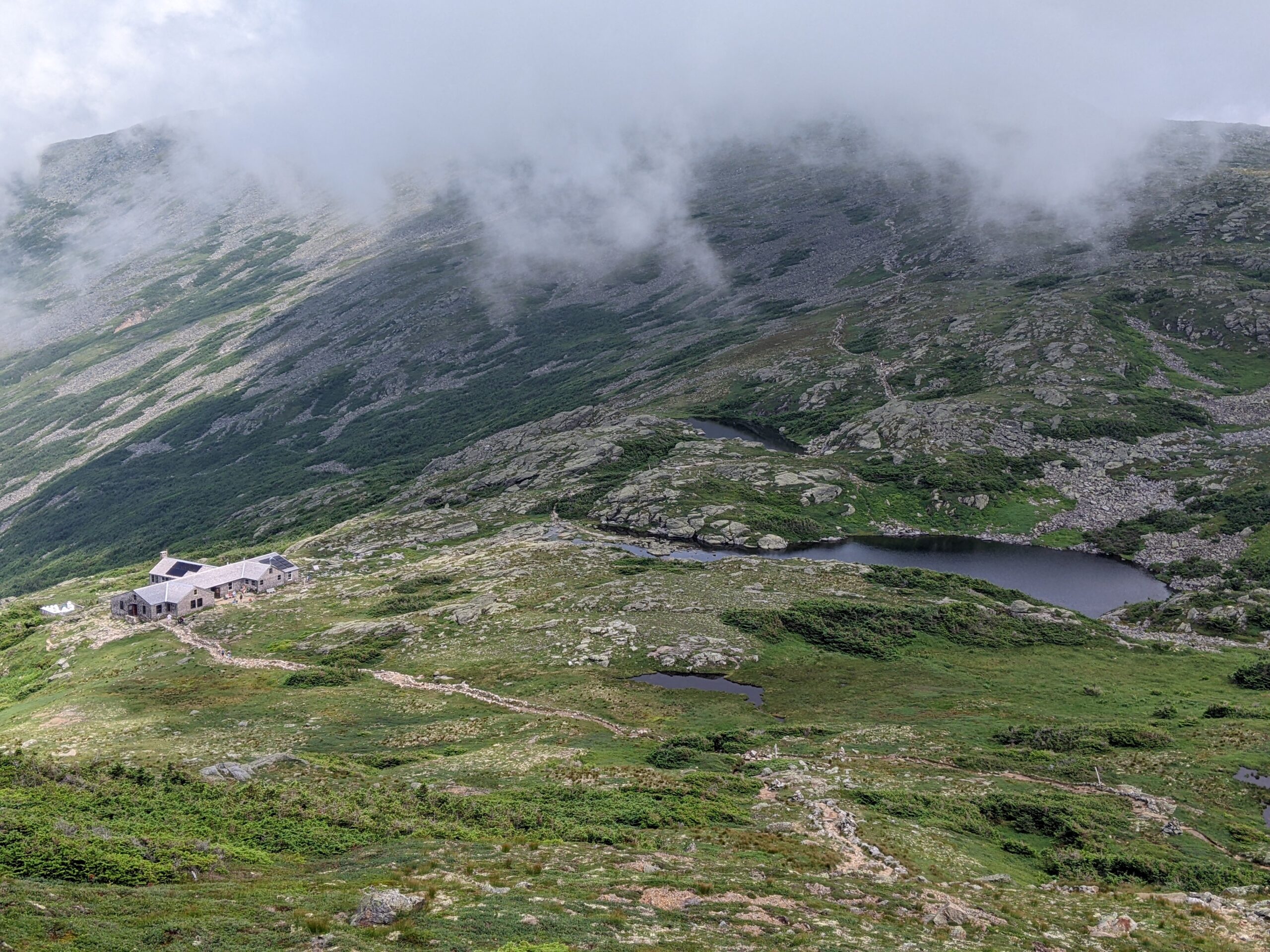
Water is available at the campground, Madison Hut, Washington summit, and Lake in the Clouds Hut. All of these stops are on route and spaced out well.
Stay Hydrated!
FOOD
Yeah bring food – you’ll need it. Remember full day effort here.
There are options at the huts and visitor center on Washington.
I ate big at breakfast then put down about 2,000 more calories during the traverse.
Know yourself and the sustenance you need when hitting it hard. You’ll feel like an idiot bonking at 6,000 feet miles away from the nearest bar stool.
TRAINING
Yep, you gotta train up for this. 19+ miles at altitude is a full day.
Do lots of hikes with lots of elevation change and as much sustained, moving time as you can.
Here’s the data for me below:

You can see my total time was 10 hours 42 min. with a moving time of 8 hrs 28 min. Yeah – not going for any speed records here. Spent quality time at each summit and wandered around the top of Washington for ½ and hour.
Savior the experience if it’s your first time. You can always come back and go full gas to test your limits and ability.
If you have any specific questions just hit me up in the comments.
Get this one done. It’s so very worth it.

Leave a comment